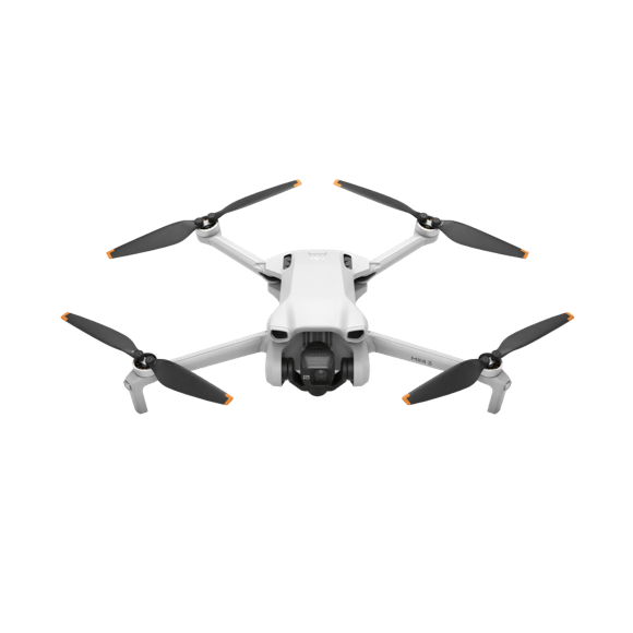
General information
Flight Performance
Camera
Additional Features
Product Description
The DJI Phantom 4 RTK is a cutting-edge drone designed for mapping and surveying applications. With its advanced features and high-precision technology, it offers unparalleled accuracy and efficiency in low altitude mapping missions.
Compact and Accurate
The Phantom 4 RTK is the most compact and accurate mapping solution available in the market. It weighs 1391 grams and has a diagonal distance of 350 mm, making it highly portable and easy to maneuver. The drone can reach a maximum service ceiling of 19685 ft (6000 m) above sea level, allowing it to cover vast areas with ease.
Intelligent Flight Functions
Equipped with visionary intelligence, the Phantom 4 RTK offers a range of intelligent flight functions that enhance its mapping capabilities. It has a maximum ascent speed of 6 m/s in automatic flight mode and 5 m/s in manual control mode. The drone can reach a maximum speed of 31 mph (50 kph) in P-mode and 36 mph (58 kph) in A-mode, ensuring efficient and swift data collection.
Precision Mapping
The Phantom 4 RTK is designed to deliver highly accurate mapping results. With RTK enabled and functioning properly, it achieves a vertical accuracy range of ±0.1 m and a horizontal accuracy range of ±0.1 m. Even with RTK disabled, it still maintains a vertical accuracy of ±0.1 m with vision positioning and ±0.5 m with GNSS positioning, and a horizontal accuracy of ±0.3 m with vision positioning and ±1.5 m with GNSS positioning.
Mapping Efficiency
The drone offers exceptional data acquisition efficiency, with a maximum operating area of approximately 1 km² for a single flight. At an altitude of 182 m, it achieves a ground sample distance (GSD) of approximately 5 cm/pixel, meeting the requirements of the ASPRS Accuracy Standards for Digital Orthophotos Class Ⅲ. This allows for efficient and accurate mapping of large areas in a short amount of time.
Advanced Imaging System
The Phantom 4 RTK is equipped with a 1" CMOS sensor that has an effective pixel count of 20 million. It has a field of view (FOV) of 84° and supports ISO ranges of 100-3200 for video and 100-12800 for photos. The drone can capture high-quality images and videos with stunning clarity and detail.
Long Flight Time
The Phantom 4 RTK has a maximum flight time of approximately 30 minutes, allowing for extended mapping missions without the need for frequent battery changes. The drone is powered by an intelligent flight battery with a capacity of 5870 mAh and a voltage of 15.2 V. It also features an intelligent battery charging hub for convenient and efficient battery charging.
Overall, the DJI Phantom 4 RTK is a state-of-the-art mapping drone that combines compactness, accuracy, and advanced features to revolutionize the mapping and surveying industry. With its intelligent flight functions, precision mapping capabilities, and long flight time, it is the perfect tool for professionals in various fields, including construction, agriculture, and surveying.
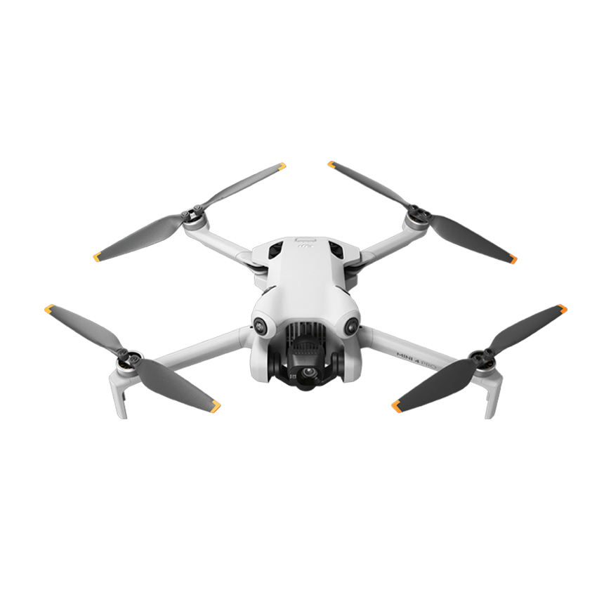
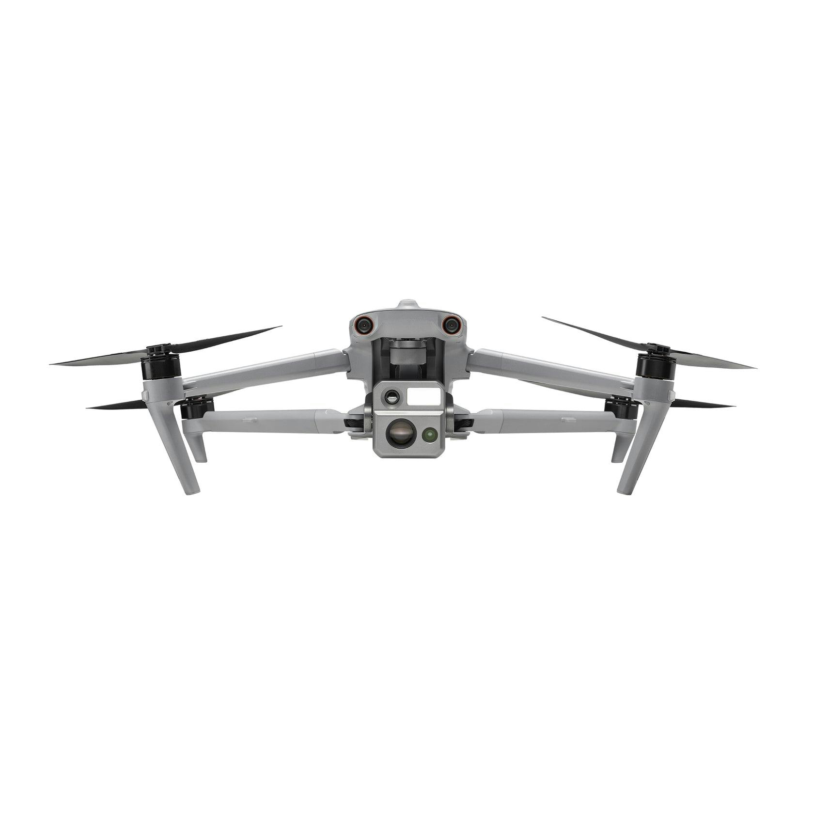
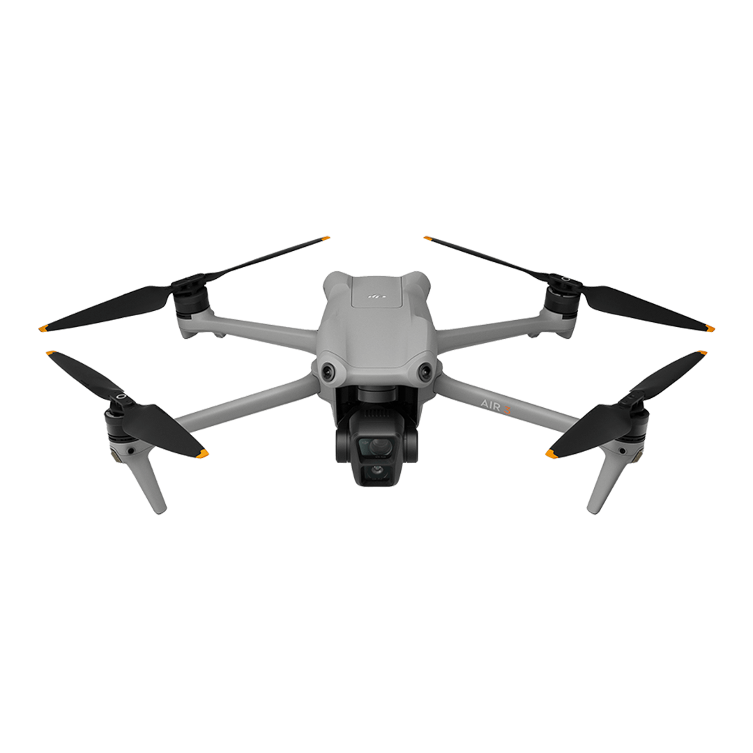
Compare DJI Phantom 4 RTK vs DJI Mini 4 Pro vs Autel Evo Max 4N
- | Amazon | Amazon |
- | $759 | $11999 |
| GPS Intelligent flight mode Obstacle detection Remote smartphone Return to home | GPS Obstacle detection Remote smartphone Return to home Wether sealed |
Brand DJI | Brand DJI | Brand Autel |
Dimensions 290x290x196 mm (WxLxH) | Dimensions 373x298x101 mm (WxLxH) | Dimensions 651x147x562 mm (WxLxH) |
Weight 1391 g | Weight 249 g | Weight 1620 g |
Temperature range 0 to 40°C | Temperature range -10 to 40°C | Temperature range -20 to 50°C |
Battery power 5870 mAh | Battery power 3850 mAh | Battery power 8070 mAh |
Max speed 16 m/s | Max speed 16 m/s | Max speed 23 m/s |
Max distance 4 km | Max distance 25 km | Max distance 20 km |
Max flight time 30 min | Max flight time 45 min | Max flight time 42 min |
Max flight altitude 6000 m | Max flight altitude 4000 m | Max flight altitude 4000 m |
Max wind resistance 10 kph | Max wind resistance 39 kph | Max wind resistance 43 kph |
Resolution 5472x3648 (5.4K) | Resolution 3840x2160 (4K) | Resolution 8192x5456 (8K DCI) |
Video recording 30 FPS | Video recording 100 FPS | Video recording 30 FPS |
Video bitrate 100 Mbps | Video bitrate 150 Mbps | Video bitrate 120 Mbps |
Megapixels 20 MP | Megapixels 48 MP | Megapixels 50 MP |
Sensor type 1" CMOS | Sensor type 1/1.3" CMOS | Sensor type 1" CMOS |
Light sensitivity 12800 ISO | Light sensitivity 12800 ISO | Light sensitivity 64000 ISO |
